Electrical Resistivity Tomography (ERT)
Variations in electrical resistivity, or conductivity, typically relate to changes in geology. Changes also occur due to the presence of water. Call for more information.
Resistivity surveys
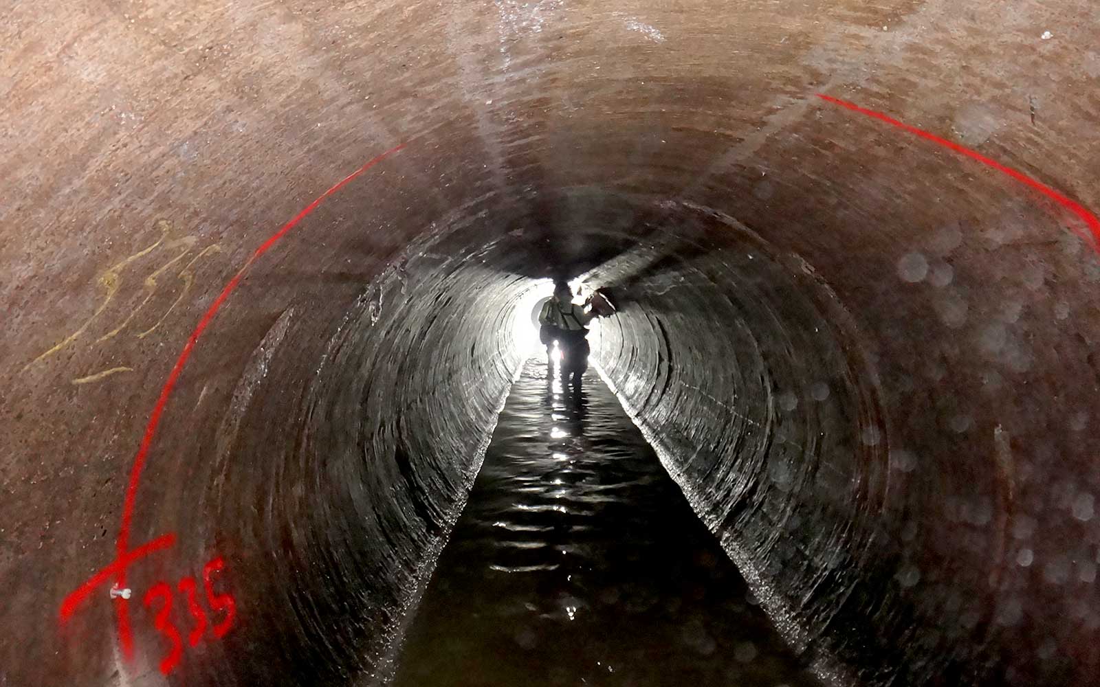
Resistivity surveys are used to characterise sub-surface materials in terms of their electrical properties. Variations in electrical resistivity, or conductivity, typically relate to changes in geology. Changes also occur due to the presence of water which can provide information on water saturation, fluid conductivity, porosity and permeability. Knowing these parameters allows for mapping of stratigraphic units, geological structures, sinkholes, fractures and groundwater profiles.
The survey equipment comprises of a string of electrodes at regular intervals which are connected to a central control box. Current is passed into the ground via a pair of electrodes and the accompanying array of electrodes detects return signals. Analysis of these currents enables electrode pairs to determine the apparent resistivity along the receiver line.
The recorded data is downloaded and analysed to produce cross-sectional models of the ground, typically presented as colour contour maps displaying the variation in resistivity. Interpretation of the data provides greater understanding of the sub-surface conditions and the data can be cross-referenced with other geophysical surveys or borehole profiles to provide calibration and confirmation of data analysis.
GBG investigates a wide range of structures from historically significant buildings to small private residences.

Complete the form below, call us on +44 1223 812 464 or contact us via email at works@gbg.co.uk. A member of the team will respond ASAP to discuss your requirements.
Please note: GBG Group is compliant with the General Data Protection Regulation (GDPR). To learn more about how we collect, keep, and process your private information in compliance with GDPR, please view our privacy policy. *
Contact Us


